About Course
Geographic Information System (GIS) using QGIS. Feel free to adapt and customize it based on the specific needs and level of expertise of your audience.
Module 1: Introduction to GIS
- Understanding GIS Concepts:
- Definition and applications of GIS.
- Importance of spatial data.
- Key Components of GIS:
- Layers, spatial data types, and attributes.
- Basics of coordinate systems.
Module 2: Getting Started with QGIS
- Introduction to QGIS:
- Overview of QGIS software.
- Downloading and installing QGIS.
- QGIS Interface:
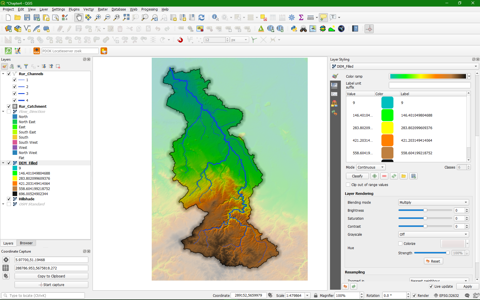
- Navigating the QGIS interface.
- Basic tools and functionalities.
- Loading Data in QGIS:
- Adding vector and raster data.
- Understanding layer properties.
Module 3: Basic Data Manipulation
- Data Creation and Editing:
- Digitizing features.
- Editing attribute data.
- Spatial Data Formats:
- Understanding and working with different data formats.
- Converting data between formats.
- Handling Attribute Data:
- Managing attribute tables.
- Joins and relationships.
Module 4: Spatial Analysis in QGIS
- Basic Spatial Analysis:
- Buffering, overlay, and spatial queries.
- Clipping and merging data.
- Geoprocessing Tools:
- Exploring geoprocessing tools in QGIS.
- Performing spatial analyses.
Module 5: Cartography and Map Design
- Symbolization and Styling:
- Styling vector and raster layers.
- Creating effective visualizations.
- Map Layouts:
- Designing map layouts.
- Adding legends, scales, and labels.
- Exporting Maps:
- Exporting maps for print and digital use.
- Creating high-quality map outputs.
Module 6: Advanced GIS Techniques
- Advanced Spatial Analysis:
- Overlay analysis and advanced geoprocessing.
- Exploring spatial statistics.
- 3D Mapping:
- Creating 3D maps and visualizations.
- Working with elevation data.
Module 7: Web Mapping with QGIS
- Introduction to Web Mapping:
- Overview of web mapping concepts.
- Configuring QGIS for web mapping.
- Creating Web Maps:
- Designing interactive web maps.
- Publishing maps online.
Module 8: Case Studies and Practical Projects
- Real-world Applications:
- Examining case studies from different industries.
- Applying GIS skills to solve practical problems.
- Capstone Project:
- Undertaking a practical project using QGIS.
- Integrating various skills learned throughout the training.
Additional Considerations:
- Hands-On Exercises and Labs:
- Incorporate practical exercises for hands-on learning.
- Provide datasets for participants to work on.
- Interactive Sessions:
- Q&A sessions and group discussions.
- Peer-to-peer learning activities.
- Resources and Further Learning:
- Share additional resources for ongoing learning.
- Provide links to QGIS documentation and tutorials.
- Certification or Assessment:
- Consider offering a certification or assessment for participants who complete the training.
Student Ratings & Reviews

No Review Yet


